C-MAP
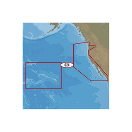
NA-D024 - USA West Coast And Hawaii - 4D - AMER - Wide
NA-D024 - USA West Coast And Hawaii - 4D - AMER - Wide..
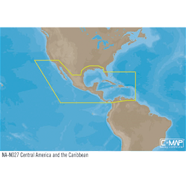
NA-Y027 : Central america and the caribbean, max-n+: wide
NA-Y027 : Central america and the caribbean, max-n+: wide..
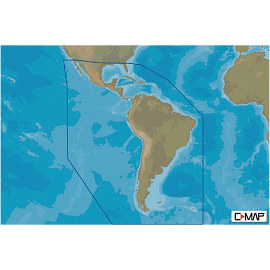
M-SA-Y038-MS MAX-N+ mapas del caribe, centro y Sudamérica. Compatible únicamente con series GO, NSO y NSS.
MSAY038MS MAX-N MAPAS DEL CARIBE, CENTRO Y SUDAMERICA. Compatible únicamente con series GO, NSo EVO y NSS EVO. Nota: No compatible con serie NSX. ..
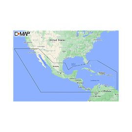
M-NA-Y205-MS C-MAP REVEAL América central y el caribe.
Cruising, fishing or sailing, C-MAP® REVEAL™ Coastal charts offer the very best of C-MAP. With Shaded Relief, including game-changing Reveal Seafloor Imagery, Aerial Photography, Satellite Overlay and Dynamic Raster Chart presentation added to the core C-MAP features found in DISCOVER™ – full-featured Vector Charts, with Custom Depth Shading, Tides..
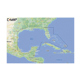
M-NA-Y204-MS C-MAP REVEAL del Golfo de México y Bahamas
Navegando o pescando las cartas C-MAP REVEAL ofrecen lo mejor de C-MAP. Características: Identificación de áreas poco profundas, desniveles, repisas, agujeros o jorobas. Función Easy Routing; permite trazar automáticamente la ruta más corta. Fotografia aeréa, que incluye fotos de marinas, puertos, y otras características. Mareas y corrientes, muest..

